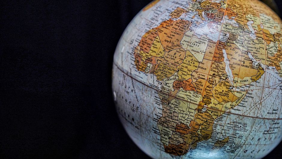
At a recent international AIDS conference, the U.S. government exhibited a map of African nations containing significant geographical errors. Most notably, coastal Nigeria was incorrectly depicted as a landlocked desert country in the Sahara. The responsible U.S. department attributed the mistakes to a hasty alteration, leading to an embarrassing display before a global audience and raising questions about official vetting processes.